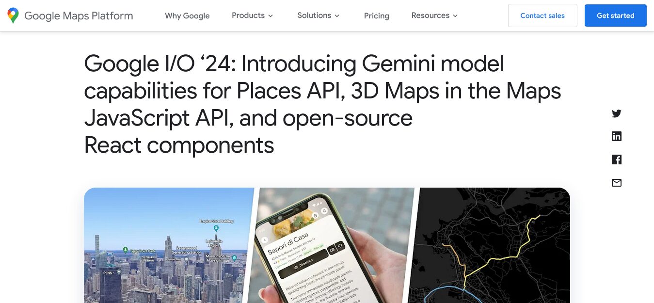
Editor’s Note: This new facile interface to Google map data adds an entirely new video like experience to using maps, which some persons find difficult to comprehend because of their symbolic two dimensional format. However, this new technology, in that it gives an areal view of terrain, seems to have no other utile function than to be of use to those piloting drones, because in every day life, no one ever sees where he lives from the air. Does Google really think that all our cars will be flying by 2030? — Rather, as has been seen in the recent unjust genocidal wars against Ukraine, Armenia and Gaza, drone warfare is the next worst thing coming round the corner of history. And Google Inc. is prepared to meet the challenge (sarcasm).


There are plenty of non-military, non-governmental uses of such terrain data.
For example, surveying buildings and land for solar panel suitability and shading calculations.
Many solar panel installers in UK already use Google Maps to get an initial estimate of roof sizes and orientations to estimate how many panels of what size and thus what clear sky peak power could be achieved.
Having nearby terrain data would enable them to estimate shading due to that terrain. This may currently be performed by drone surveys.
Part of mapping the people in the 15 minute city plan. To concentrate where the food will be dumped. It already happened in Hong Kong 2022. An experiment of planned starvation.